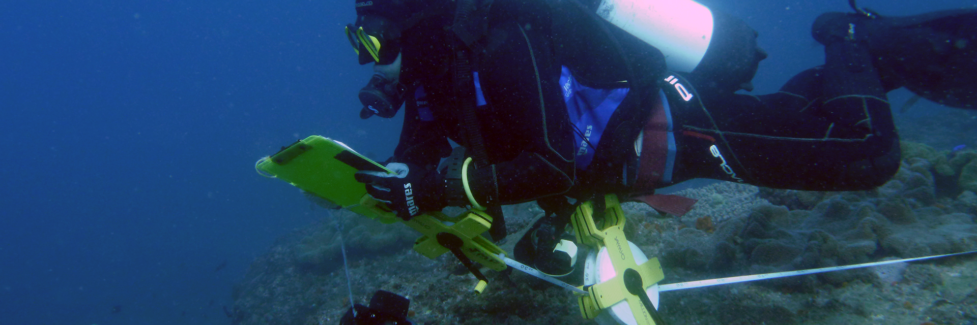
As a part of the ongoing Sustainable Urban Seascapes Moreton Bay project, the Marine Paleoecology Lab has been sampling sites in Quandamooka (Moreton Bay, South East Queensland) using photogrammetry. To do this, we capture thousands of images of the benthos which we then stitch together to create 3D models of the reef. We then use these models to study community change across Quandamooka.
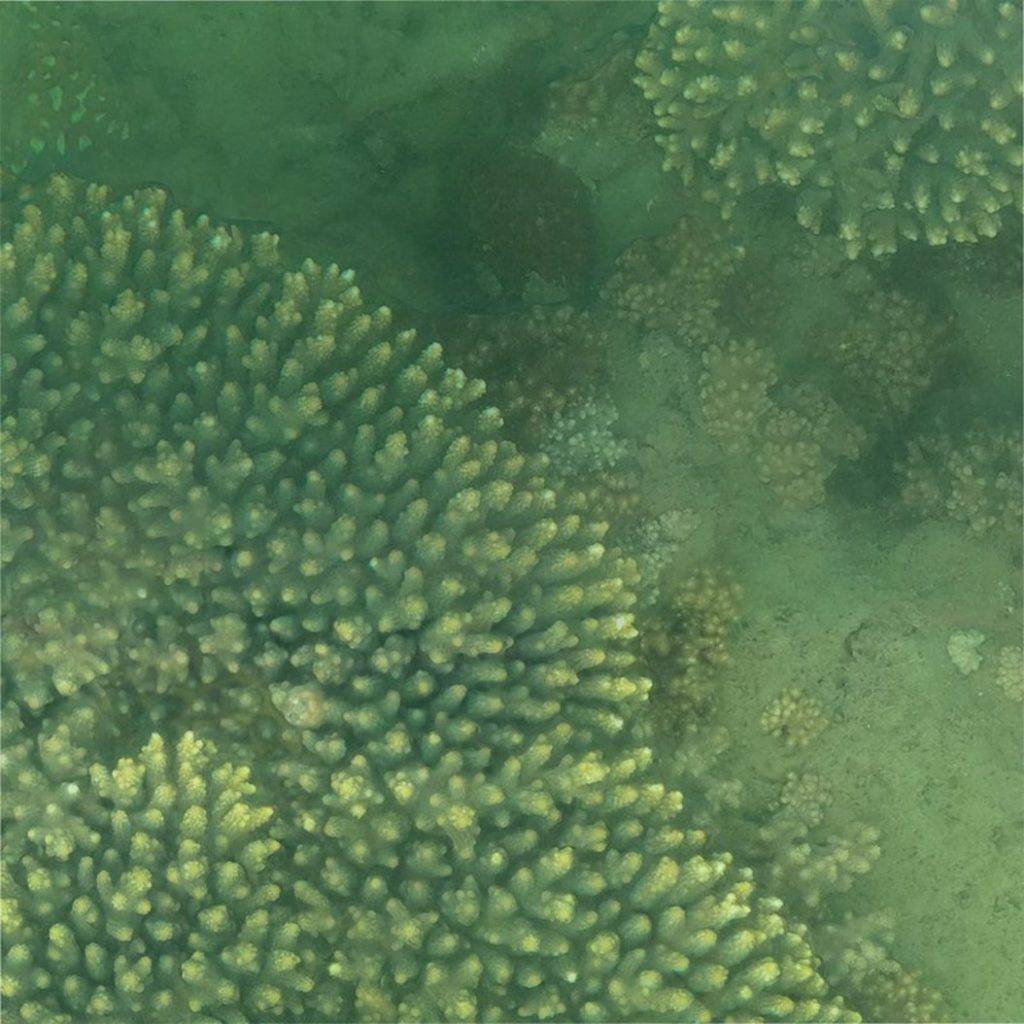
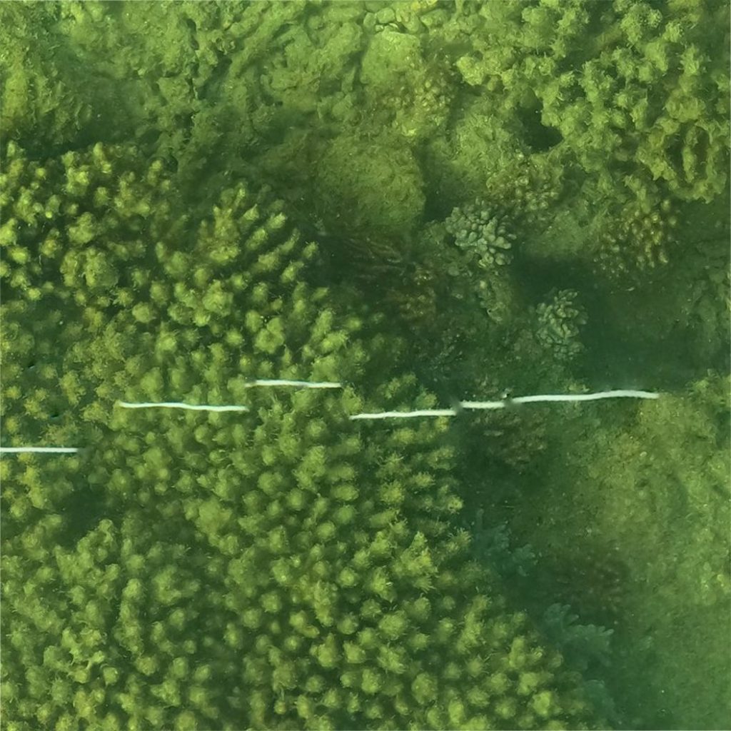
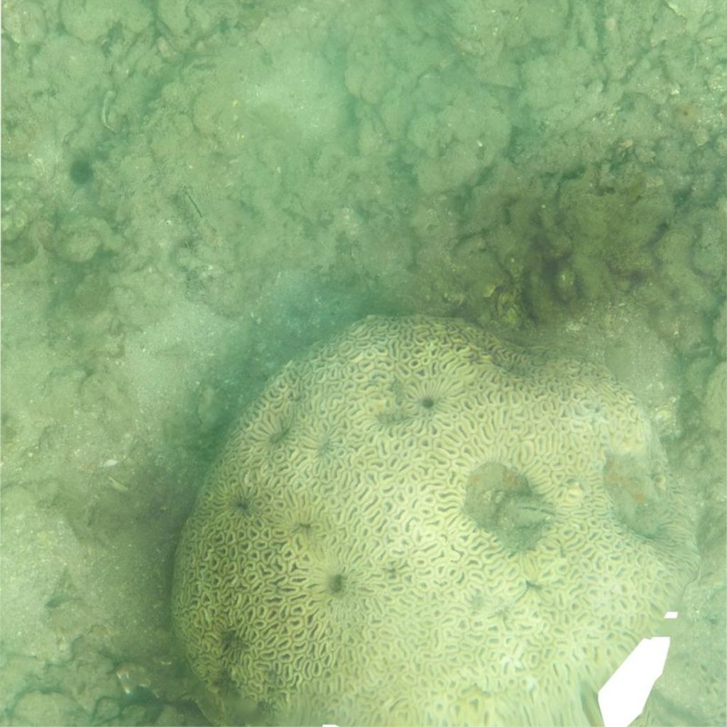
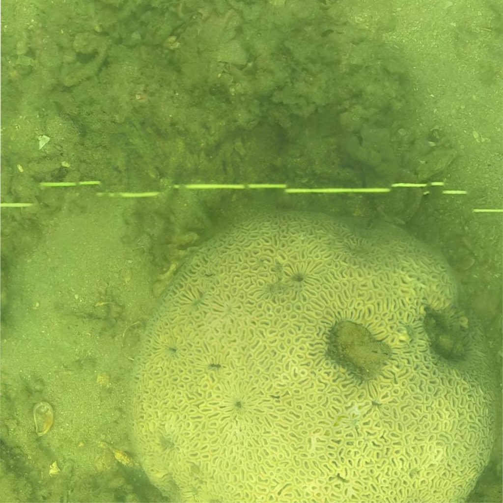
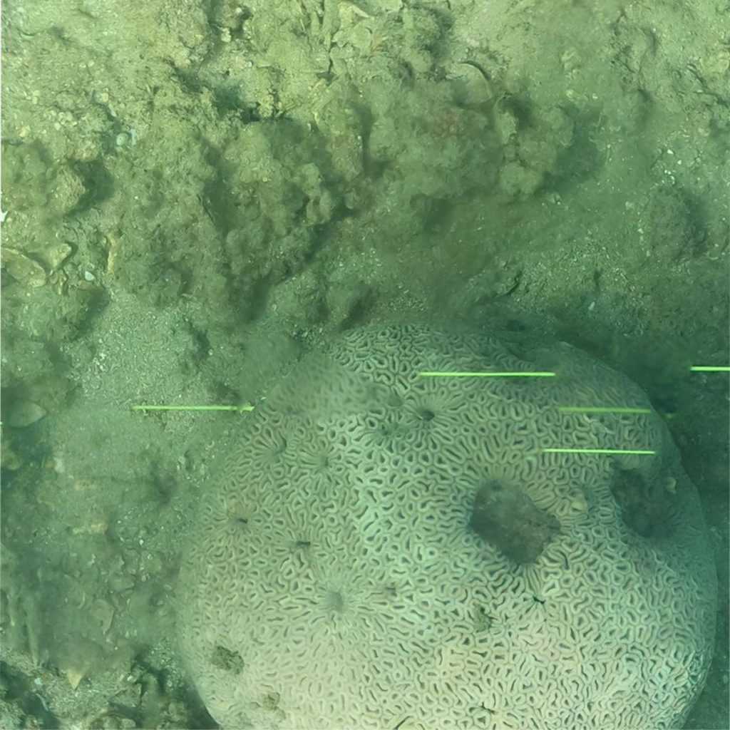
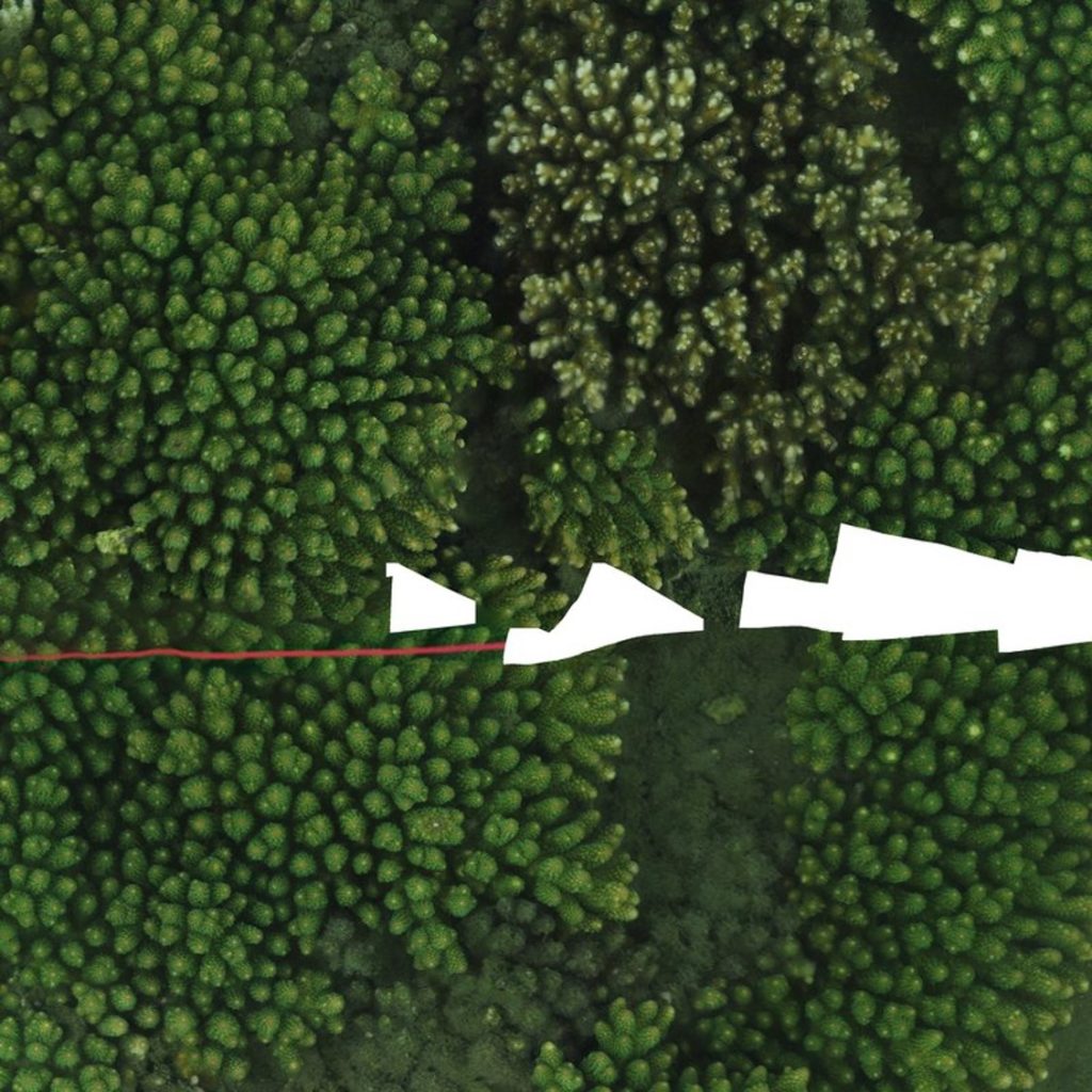
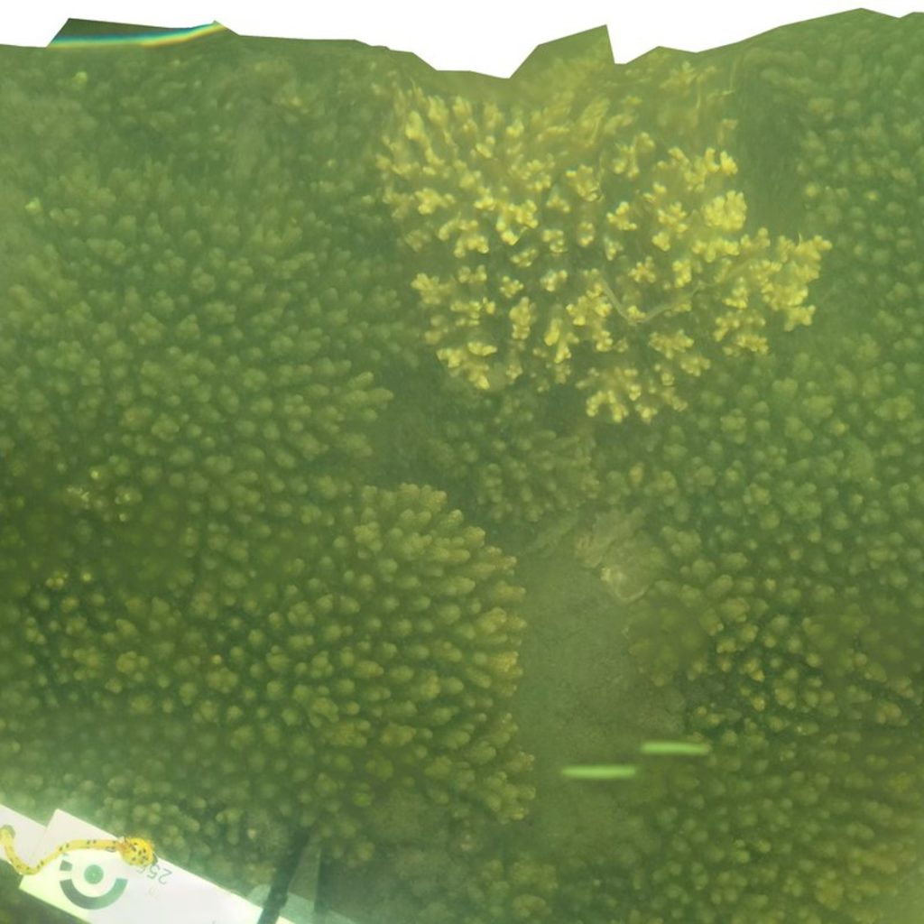
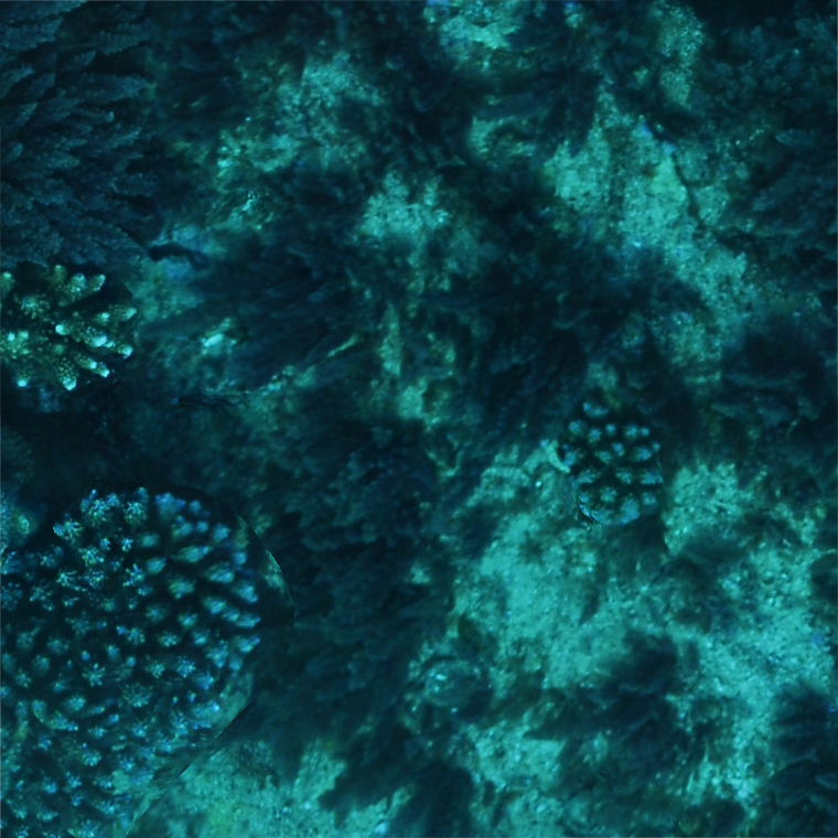
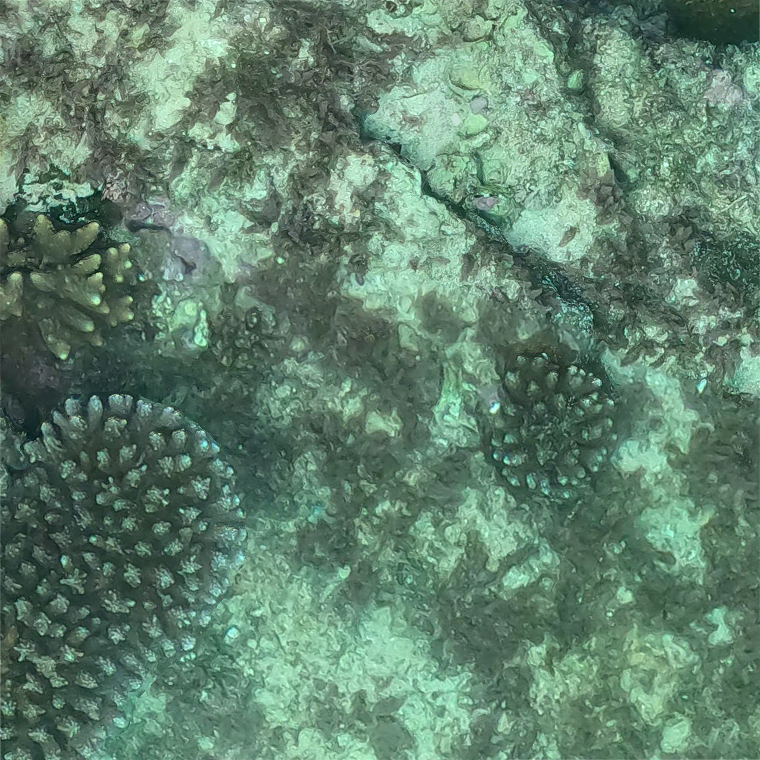
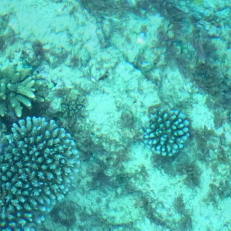
One aim of this research is to understand the community response to the severe flooding event of February and March 2022. The images below are taken from the orthomosaics (2D birds-eye view) of our models. They show snapshots of the reefs in Quandamooka six months before (September 2021), immediately after (March 2022), and six months after (September 2022) this major flooding event. For example, note the mortality of the Acropora tabulate corals at Goat Island after the floods.


Thank you to Kirsten Golding, Dr Gal Eyal, Dr Nick Hammerman, Prof John Pandolfi, and everyone in the Sustainable Urban Seascapes Moreton Bay (SUSMB) collaboration.
